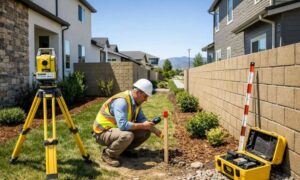
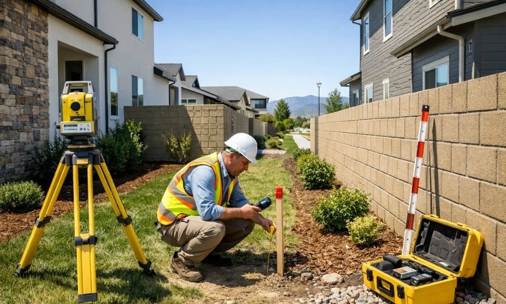
A brand-new fence. A fresh survey stake. A neighbor who swears the block wall sits on their land. In Henderson’s newest subdivisions, this scene plays out more than you’d expect. A boundary survey is often the only thing that settles it. Even in master-planned communities with perfect curb appeal, property lines can get murky fast. Here’s why it happens, and what developers and homeowners can do about it before it turns into a real problem.
New construction does not mean clear boundaries. Phased development, custom landscaping, and irregular lot shapes all create confusion. A boundary survey before any major project is the cheapest insurance you can buy.
Why New Neighborhoods Can Create Unexpected Property Line Questions
Henderson is growing fast. West Henderson alone has a planned 220-acre community bringing up to 740 single-family homes and townhomes online in phases. Big projects like this rarely get built all at once.
That phased approach creates gaps.
- Builders record plats in stages, not all together.
- Different builders may handle different phases of the same community.
- Early phase maps sometimes get revised before later phases close.
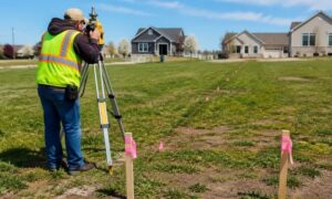
- Temporary construction stakes get mistaken for permanent boundary markers.
Homeowners assume a straight line is obvious. It usually is not.
Multiple Builders, Multiple Standards
Large subdivisions often split work between several building companies. Each one may use different survey crews. Small differences in how corners get marked can add up across a development. A line that looks consistent on paper may not match what’s staked in the dirt.
New Plats Are Still Settling Legally
A newly recorded plat is a legal document, but it takes time for every detail to filter down to title companies, HOAs, and county records. Mismatches between what’s recorded and what’s marked on the ground are common in the first few years after a community opens.
When Finished Landscaping Makes Boundaries Harder to Identify
Once the dust settles and landscaping goes in, things look finished. That’s exactly the problem.
Block walls, decorative rock, drip irrigation lines, and side-yard gates all create visual boundaries. None of them are legal proof of where a property line actually sits.
- A wall built by the original developer may sit a foot or two off the true line.
- Rock borders often follow what looks tidy, not what’s recorded.
- Irrigation valves and drainage swales get placed for function, not legal accuracy.
- Side-yard gates are convenience features, not boundary markers.
In Henderson’s newer communities, HOA dues commonly range from $100 to $500 per month, and HOAs often install shared walls and common-area landscaping during the build-out. That shared work can blur where one yard ends and another begins.
Appearances Can Mislead Even Careful Buyers
A buyer touring a finished home sees clean lines and tidy edges. What they don’t see is whether that wall matches the recorded plat. Visual cues feel reliable. Legally, they mean nothing without a survey to confirm them.
How Lot Premiums and Irregular Shapes Add to the Confusion
Not every lot in a new Henderson subdivision is a simple rectangle. Builders charge premiums for lots with better views, more privacy, or unique positioning. Those same features often come with odd shapes.
- Cul-de-sac lots taper toward the street, making the front boundary shorter and harder to judge by eye.
- Corner lots have two street-facing sides instead of one, with setback rules that differ from interior lots.
- Pie-shaped lots widen or narrow unevenly from front to back.
- Lots bordering open space or wash areas often have boundaries that follow natural terrain rather than straight lines.
Henderson’s luxury and view-lot communities, including areas like MacDonald Highlands and Ascaya, lean heavily on these premium lot types. Supply has increased modestly as builders complete projects in MacDonald Highlands, Ascaya, and the newer Lake Las Vegas enclaves, which means more irregular parcels are entering the market right now.
Why Irregular Shapes Increase Risk
A rectangular lot is easy to estimate by eye. An irregular one is not. Small errors in visual estimation grow larger on lots with angled sides or curved frontages. That’s exactly where boundary disputes tend to start.
Why a Boundary Survey Becomes Important Long After Construction Ends
Boundary questions rarely show up on closing day. They show up years later, when someone wants to build something.
- Pool installations require knowing exact setbacks from every property line.
- ADU planning depends on confirmed lot lines to meet zoning rules.
- Solar panel projects need accurate measurements for permitting and HOA approval.
- Landscaping expansions can accidentally cross into a neighbor’s yard.
- Property sales often trigger a title review that flags old discrepancies.
This is not about conflict. It’s about verification. A boundary survey done before a permit application saves time, money, and awkward conversations with neighbors.
Nevada Law Requires Marked Corners
Nevada law requires licensed surveyors to set permanent monuments marking property corners, and those markers must be tagged with the surveyor’s license number. A corner of a lot must be set by the land surveyor in the manner approved by the governing body. If those original monuments are missing, disturbed, or covered by landscaping, a new survey is the only way to confirm the line.
What Homeowners Can Do Before Boundary Questions Become Expensive Problems
Waiting until a dispute happens is the expensive route. A few proactive steps prevent most boundary headaches.
- Pull the recorded plat. The county recorder’s office holds the official map for your subdivision phase.
- Check your lot dimensions against your title report. Numbers should match. If they don’t, ask why.
- Locate your survey monuments. These are usually small metal caps set at each corner, sometimes buried under landscaping.
- Order a boundary survey before major projects. Pools, ADUs, solar arrays, and additions all carry survey requirements.
- Keep survey records with your home file. Future owners, buyers, and contractors will thank you.
A boundary survey costs far less than moving a wall, tearing out a pool deck, or settling a property dispute after the fact.