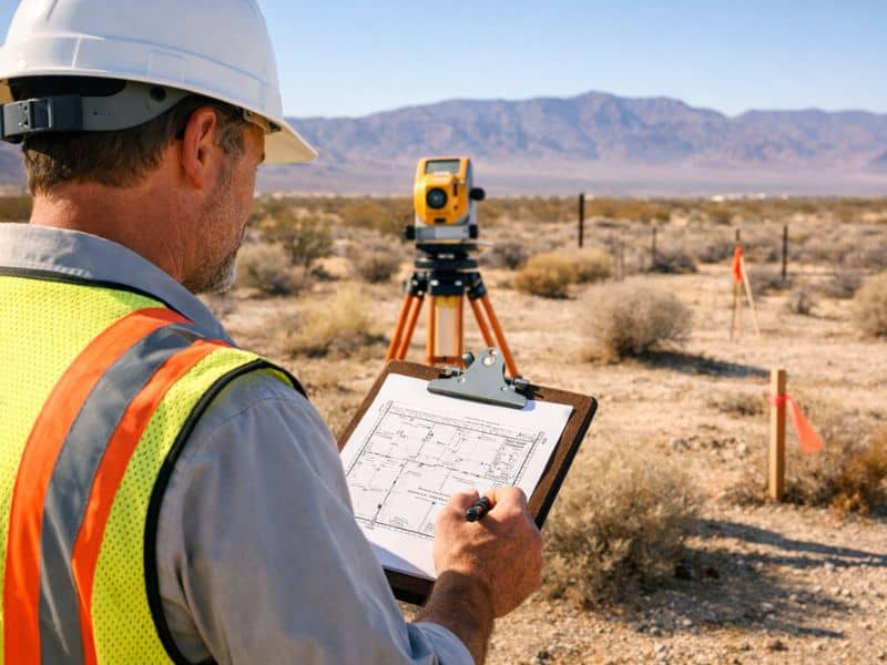
Buying land in Pahrump may look simple at first. Wide-open space, fewer restrictions, and lower prices make it attractive for buyers looking to build or invest. But before moving forward, a title survey plays a critical role in confirming what you are actually buying. Without it, you may rely only on documents that do not fully reflect what exists on the ground.
Why Land Buyers in Pahrump Need More Than a Title Report
A title report shows legal ownership, recorded easements, and any liens tied to the property. It is important, but it does not show physical conditions. It cannot confirm where boundaries are marked, whether structures cross property lines, or if access is clearly usable.
That gap is where a title survey becomes essential. It connects legal records to real-world conditions, giving buyers a clearer picture of the property before closing.
What a Title Survey Actually Shows
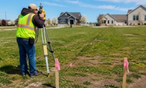
A title survey maps out key features that affect ownership and use. It verifies boundary lines and compares them to recorded documents. It also identifies visible improvements and how they relate to the legal description.
This includes things like fences, driveways, utility access points, and easements that may impact how the land can be used. In many cases, it also highlights differences between what is recorded and what is physically present on-site.
Common Issues Found During a Title Survey
Buyers are often surprised by what a survey uncovers. Problems are not always obvious during a simple property visit.
Some of the most common issues include:
- Encroachments from neighboring structures or fences
- Access routes that are not legally recorded
- Easements that limit how the land can be developed
- Boundary lines that differ from assumptions or listings
These findings can affect property value, design plans, and even financing approval.
Why This Matters More in Rural Areas Like Pahrump
Pahrump has a mix of developed and undeveloped land, which creates more uncertainty compared to dense urban areas. Properties may lack clear fencing, visible boundary markers, or updated records.
In rural settings, assumptions can easily replace verification. A driveway might cross into another parcel. A utility line may not follow recorded easements. These details matter when planning construction or securing permits.
That is why a title survey is especially important in areas like Pahrump. It reduces risk by confirming both legal and physical property conditions.
How to Avoid Costly Surprises Before Closing
The best time to order a title survey is during the due diligence phase. Waiting until after closing can lead to unexpected costs or legal challenges.
Buyers who take time to review survey results early can adjust plans, renegotiate terms, or walk away if needed. It also helps align expectations between buyers, sellers, and lenders. This kind of early review gives you help confirming property boundaries before buying, especially when the details on paper do not fully match what exists on-site.