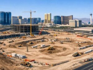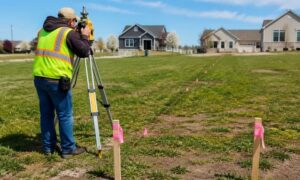
Buying or developing commercial real estate is an exciting milestone—but it also comes with a host of potential risks. From inaccurate property lines to hidden easements, the landscape beneath your investment can hide expensive surprises. That’s why getting an ALTA survey before closing is not just smart—it’s essential.
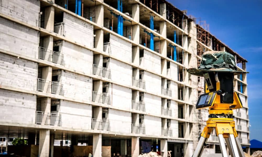
Especially in fast-growing areas like Las Vegas, commercial lots often come with unrecorded complications. These risks might not appear in public documents but can derail your plans after purchase. An ALTA/NSPS Land Title Survey shines a light on these issues, ensuring peace of mind for buyers, lenders, and developers alike.
What Is an ALTA/NSPS Land Title Survey?
An ALTA/NSPS Land Title Survey is a comprehensive survey used in commercial real estate transactions. Governed by strict standards from the American Land Title Association (ALTA) and the National Society of Professional Surveyors (NSPS), this survey goes beyond ordinary boundary checks.
Key Components Include:
- Exact property lines and corners
- Buildings, fences, and physical improvements
- Easements and rights-of-way (e.g., for utilities or shared access)
- Legal access to public roads
- Encroachments from neighboring properties
This detailed survey helps ensure the property is ready for acquisition, construction, or refinancing—without hidden complications.
Common Problems ALTA Surveys Help Uncover
Even well-documented properties can hide complications. Some of the most common issues found through ALTA surveys include:
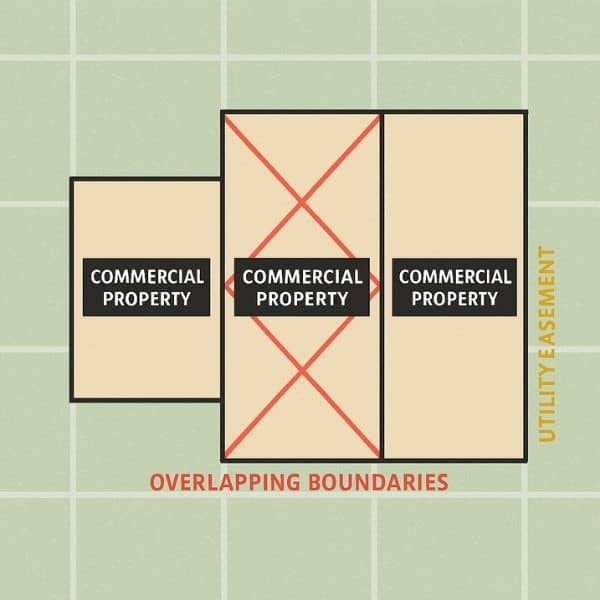
- Overlapping Boundaries: Conflicting property lines between neighbors
- Unrecorded Easements: Utility rights not found in public records
- No Legal Road Access: Landlocked parcels without public road connections
- Encroachments: Buildings or fences intruding onto the subject property
- Zoning Violations: Structures that conflict with current zoning codes
These problems can lead to delays, extra costs, or even legal disputes—unless caught early.
Why an ALTA Survey Matters Before Closing
Title companies and lenders often require an ALTA survey as part of due diligence. Here’s why it’s a critical part of the commercial closing process:
- Confirms exact land ownership and boundaries
- Ensures title insurance coverage is accurate
- Identifies and helps avoid legal disputes
- Assists in future development planning
- Validates zoning and land use compliance
It’s a proactive step that prevents reactive legal or financial headaches.
Real Examples from Las Vegas Commercial Deals
In a city like Las Vegas, where growth is constant and land is valuable, ALTA surveys reveal important details:
- A planned hotel discovered a buried water line easement under the parking lot, saving thousands in redesign costs.
- A shared driveway access issue between two businesses was resolved before closing, thanks to the ALTA survey findings.
- A downtown high-rise project used the survey to confirm zero property encroachments, smoothing the title process.
When Should You Order an ALTA Survey?
You should request an ALTA survey if:
- You’re purchasing or refinancing a commercial property
- You plan on new construction or renovations
- The land records are outdated or unclear
- The property is near utility lines, shared spaces, or public land
Partnering with a provider of professional commercial land surveying services at the beginning of the transaction ensures you catch potential issues early. Ordering the survey early in the deal can save time, reduce costs, and support a smooth closing process.
What to Expect from the ALTA Survey Process
Here’s how the survey typically unfolds:
- A licensed surveyor reviews property records and legal documentation.
- They conduct a field survey to document existing improvements and conditions.
- They work with the title company to include all recorded easements.
- They provide a certified ALTA survey map, clearly illustrating all findings.
The process can take 1–4 weeks depending on property complexity, but the outcome is a reliable, legally accurate representation of the land.
An ALTA Survey Is a Smart Investment
In high-stakes real estate markets like Las Vegas, where property lines, access rights, and development potential are closely scrutinized, an ALTA/NSPS Land Title Survey provides essential insights. It uncovers problems early, supports compliance, and protects your investment from hidden risks.
Whether you’re buying a boutique storefront or a sprawling commercial development site, an ALTA survey isn’t just due diligence—it’s peace of mind.
FAQs
1. How much does an ALTA survey cost?
Costs vary based on property size and complexity but typically range from $2,000 to $10,000.
2. Who pays for the ALTA survey?
Generally, the buyer covers the cost, though it can be negotiated during the deal.
3. Are ALTA surveys legally required?
They’re not legally required but are often mandated by lenders or title insurance providers.
4. How long is an ALTA survey valid?
It reflects conditions at the time of the survey. Updates are recommended if significant changes occur before closing.
5. Can an ALTA survey replace a title search?
No. It complements a title search by revealing physical and legal features that records alone can’t show.
6. What’s the difference between an ALTA and boundary survey?
A boundary survey shows just the property lines, while an ALTA survey includes easements, improvements, access rights, and more.