A week after heavy rains drenched the valley, many Henderson homeowners are still uneasy. Streets in parts of Whitney Ranch and Green Valley turned into shallow rivers. Yard walls toppled, driveways cracked, and insurance adjusters began showing up with clipboards. In moments like this, one document becomes more important than most people realize — the elevation certificate.
This simple report, prepared by a licensed land surveyor, shows how high your home sits compared to the base flood elevation set by federal guidelines. It’s not just paperwork for insurance; it can protect your home’s market value, your loan approvals, and your peace of mind after a storm.
When Floods Hit, So Do Appraisals
After dramatic floods make headlines, buyers and lenders grow cautious. It’s not about fear — it’s about proof. People want to know a house won’t flood again. In Henderson, that means homes with a recent elevation certificate instantly stand out.
Real-estate agents can point to hard data instead of saying, “It hasn’t flooded before.” Appraisers and underwriters see that the property sits safely above the flood line. In a market where values can shift overnight, proof of elevation helps a home keep its worth.
Why Buyers Care About Elevation Data
Most homeowners focus on visible upgrades — a new roof, fresh paint, or clean landscaping. But today’s buyers also check flood risk before signing. If two houses in the same neighborhood share the same price, the one with a verified elevation certificate often wins the offer.
That’s because flood insurance costs are part of a home’s long-term expenses. A house built higher than the base flood elevation usually qualifies for lower premiums. For buyers, saving hundreds of dollars a year is a strong reason to choose your property over someone else’s.
After the Storm: Insurance Rates Can Change Fast
Floods don’t just damage property — they reset how insurance companies see risk. When a major event hits a region, carriers often review claims and adjust rates for entire zones. That’s where your elevation certificate works for you.
With updated elevation data, your agent can request a re-rate under the current insurance guidelines. If your home sits higher than neighboring properties, you may avoid a premium increase or even qualify for a discount. Without that data, insurers assume the worst.
In short, the certificate speaks the language insurance companies understand: verified measurements and official coordinates.
Same Storm, Different Results
The recent rainfall didn’t affect every neighborhood the same way. Higher parts of Green Valley South dried quickly, while flatter streets closer to the wash collected runoff for hours. That difference comes down to slope, drainage, and elevation — factors that only a survey can confirm.
Many homes were built years apart, using different grading standards. Even small changes, like adding a patio or yard wall, can alter how water moves. An elevation certificate records those shifts so you can prove your property still meets safety standards.
How an Elevation Certificate Protects Home Value
Think of it as documentation that strengthens your investment. Here’s how it helps:
- When selling: Your listing stands out as “verified flood-safe.” Buyers feel confident, and lenders move faster.
- When refinancing: The bank already has the data it needs for risk review, avoiding last-minute surprises.
- When repairing: Contractors and inspectors use your elevation data to confirm that grading and drainage meet current codes.
Each use adds another layer of trust that supports your home’s value — not just during emergencies, but whenever you decide to sell or refinance.
Turning Flood Worry Into Smart Action
If you live in areas like Anthem, Whitney Ranch, or Mission Hills, the recent storms were a reminder that preparation pays off. You can turn post-flood stress into a smart property move.
Next time it rains, take a short walk around your yard. Watch where water collects or drains too slowly. Take photos. If you notice recurring puddles or damp walls, it may be time to check your property’s elevation.
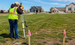
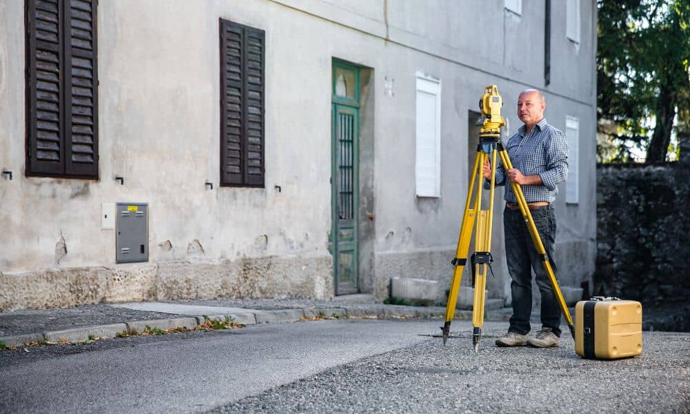
A licensed land surveyor can provide a current elevation certificate that reflects any grading or landscape changes. The process usually takes a day or two and gives you an accurate report to share with your insurance agent, realtor, or lender.
Why Acting Now Matters
Waiting until the next storm season could cost you more. Insurance updates, home listings, and repair permits all move faster when your data is ready.
If you recently regraded your yard, replaced a retaining wall, or built a new patio, it’s the perfect moment to capture new elevation readings. Fresh data locks in those improvements and shows that your property is safer than before.
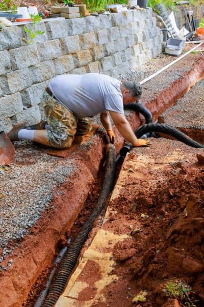
Surveyors can also identify subtle issues you might miss — like a swale that drains the wrong way or a wall that traps water. Fixing them early prevents bigger problems later.
Confidence Starts With Proof
Numbers bring peace of mind. When you have an elevation certificate showing your home is above the flood line, worry turns into confidence. You’ll know your property meets the right standards, your insurance reflects real risk, and your investment is backed by facts — not assumptions.
In a city that can go from dry to drenched in an afternoon, that confidence is priceless.
Final Thoughts
The recent floods reminded everyone that extreme rain can hit fast. But they also showed that being prepared matters more than luck.
By securing an up-to-date elevation certificate, you protect your home’s value, control your insurance costs, and give buyers or lenders confidence in your property’s safety.
Before the next storm season rolls in, take this simple step that pays off for years. Your home deserves more than hope — it deserves proof.