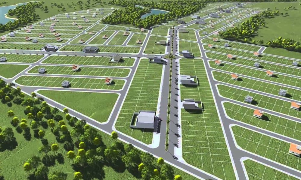
When the U.S. Justice Department challenged California’s new voting map, most people saw it as another political fight. But underneath all the headlines is a simple truth: everything comes down to where the lines are drawn. And believe it or not, that same problem affects homeowners every day. If the boundaries on your own property are off by even a foot, your building plans can fall apart fast. That’s why checking your boundary survey before you build anything is more important than most people realize.
When Lines on a Map Change Everything
Political district maps decide who gets represented, who gets resources, and who gets a voice. When those lines shift, the outcome shifts too. That’s exactly what the California lawsuit is arguing—that the lines weren’t drawn correctly.
Now think about your property lines. They decide:
- What you own
- What you can build
- Where you can build it
- Whether the city will approve your plans
A mistake on a political map affects power. A mistake on a property map affects your money, your time, and your home. In both cases, accuracy isn’t just a preference. It’s the foundation for everything that follows.
Nevada Is Updating How Boundary Surveys Work
While the news focuses on political boundaries, Nevada is dealing with boundary accuracy in a different way. The Nevada Board of Professional Engineers and Land Surveyors has been reviewing updates to boundary survey classifications. The goal is to match national standards, improve consistency, and make sure surveyors use the same guidelines across the state.
For homeowners, this matters because:
- Many properties still rely on old surveys
- Some parcel maps date back decades
- New subdivisions sit beside older, irregular lots
- HOAs enforce strict rules based on exact distances
If your plans rely on outdated boundary information, your project may not pass city review. And once the work starts, fixing a mistake becomes far more expensive.
Updated standards mean surveyors will produce more consistent and reliable results. But until everything is fully aligned, homeowners should not assume their old boundary survey still works for new construction.
Why You Need Accurate Boundaries Before You Build
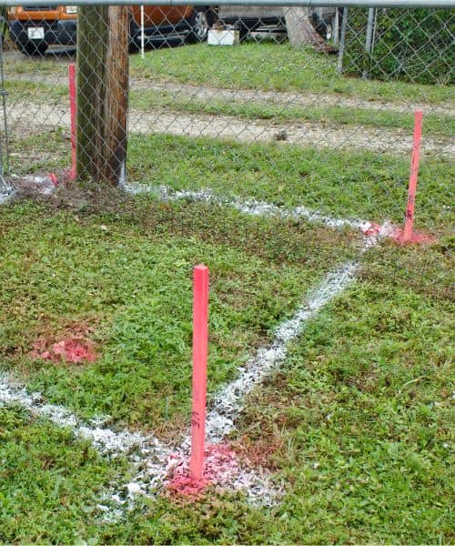
Many people think they only need a boundary survey when something goes wrong, like a disagreement with a neighbor. But most problems happen long before anything turns into a dispute. They actually happen during planning.
In North Las Vegas, lots often have tight side yards and strict rear setbacks. This means you don’t have much room to shift a pool, patio cover, casita, or wall. A difference of even a few inches can push part of your project into a setback or easement.
Once that happens, the city will not approve the permit. Even worse, some homeowners learn the bad news after the contractor has already measured, designed, or ordered materials. That leads to redesign fees, delays, and wasted money.
That’s why many homeowners start with a property boundary evaluation for construction instead of guessing. It gives a clear picture of the space you’re actually working with. When you have that certainty from the start, the buildable area becomes obvious, and your contractor can draw the plans correctly the first time.
Where Most Home Projects Run Into Boundary Problems
North Las Vegas is filled with neighborhoods where land is used carefully and efficiently. That means there is less open space to work with, and a small boundary shift can change everything.
Pools. A pool often fails approval because the edge crosses the rear setback. Even one foot of conflict means a full redesign or a smaller pool. Some owners lose the option entirely.
ADUs or Casitas. These structures must meet strict side and rear setbacks. When the boundary survey changes the true shape of the lot, the building footprint may no longer fit.
Block Walls. Wall height rules change depending on which part of the lot you’re in. If the yard type changes because of a corrected boundary, the wall design must change too.
Patio Covers. The support posts can’t sit inside easements. Only a boundary survey shows where those easements actually fall on your property.
These situations cost homeowners thousands every year, and almost all of them could have been avoided with accurate boundary information from the start.
Why You Should Never Trust Online Maps for Construction
Online parcel maps—like Clark County GIS or Google Maps—are helpful for general reference but not for building decisions. They are not legal documents. The lines on those maps are only estimates, and they can be off by several feet in some areas.
That small error doesn’t seem like much until you place a pool, casita, wall, or solar structure right against a setback. If your design depends on digital lines, the project can fall apart during plan review.
Contractors often use online maps to visualize layouts at the start, but they rely on homeowners to provide the official boundary survey before they finalize any measurements. Without it, everyone is working blind.
What the National Map Dispute Teaches Local Homeowners
The California map lawsuit shows how powerful boundaries can be. When lines are drawn wrong, decisions get questioned. Plans get delayed. People get frustrated.
You can apply that same lesson to your property. If your boundary survey isn’t accurate:
- Your plans may fail
- Your project may shrink
- Your materials may go to waste
- Your contractor may have to redraw everything
- Your timeline may double
A clear, updated boundary survey gives everyone involved—builders, architects, and the city—the confidence they need to move forward.
Before You Build, Start With the Line That Matters Most
If you’re planning a project, take the time to double-check your boundary survey before you spend money on design or permits. It’s a simple step that protects your budget, prevents delays, and ensures your project fits exactly where it should.
A national fight over political maps may seem far away, but the lesson applies right here at home. Your construction plans rely on the same idea: accurate lines create solid foundations. If the lines are wrong, nothing built on them stands strong.
A quick check today can save you from major problems tomorrow.