Land Surveyor Tips for Tiny-Home Infill Projects
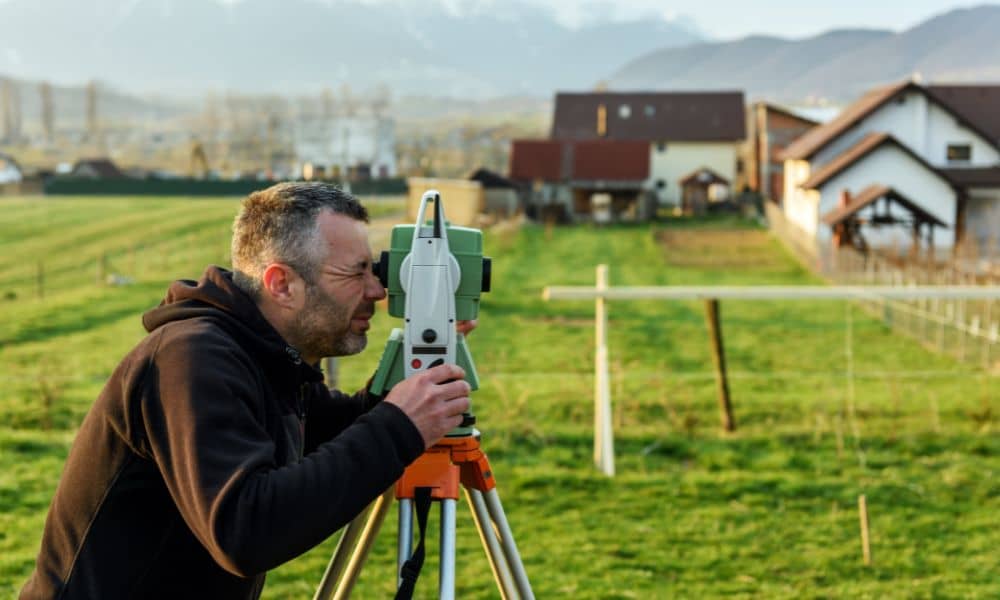
Small homes are becoming more popular across Southern Nevada. Many buyers now look at smaller parcels and think they can build something simple and efficient. At first, that idea makes sense. However, small lots often come with bigger challenges than expected. In Henderson, this shift toward infill development means more people try to build on […]
What a Title Survey Reveals Before You Buy Land
Buying land in Pahrump may look simple at first. Wide-open space, fewer restrictions, and lower prices make it attractive for buyers looking to build or invest. But before moving forward, a title survey plays a critical role in confirming what you are actually buying. Without it, you may rely only on documents that do not […]
What a Property Survey Shows Before You Trust a Map
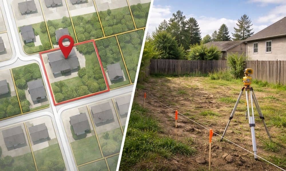
North Las Vegas keeps growing. New homes, new roads, and new projects show up across the city. Because of that, many people turn to parcel maps online to understand a piece of land before they make a decision. It feels easy. You type an address, zoom in, and see clean lines that look like exact […]