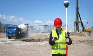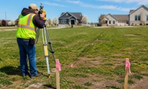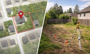
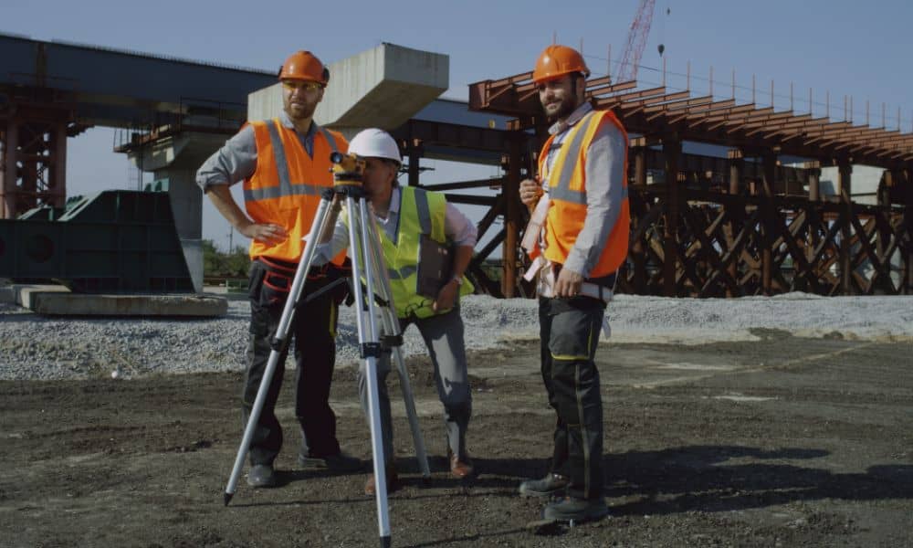
When most people in Las Vegas think of earthquakes, they picture California shaking, not the desert valley. But on October 25, a small microquake near Kingston, Nevada, sent tiny vibrations across the region. It wasn’t a big one—barely noticeable for most residents—but for builders and surveyors, it was enough to raise a red flag. Those little tremors, combined with gusty weekend winds, can throw off precision points on a construction staking survey, and that’s a serious issue when every millimeter counts.
Las Vegas: Where Precision Meets Pressure
Las Vegas is booming again. From high-rise towers on the Strip to new subdivisions on the outskirts, construction sites are everywhere. But beneath the buzz, this city’s geology poses challenges that most people don’t see. The soil here can shift slightly with temperature changes, compaction, and even small seismic activity.
That’s why construction surveyors treat control points like gold. These are the physical marks that guide every stake—showing crews exactly where to pour a footing, place a column, or cut a curb. If even one of those points moves after a tremor or strong gust, the next step in construction might be off by an inch or two. That may sound small, but when you’re building a 20-story tower, that inch can translate to several inches of error at the top floor.
What Moves After a Quake (Even a Tiny One)
After a microquake, most of the city keeps running like nothing happened. But for surveyors, that’s the moment to pause. A tremor, even one that doesn’t make headlines, can slightly tilt tripods, shift ground markers, or loosen temporary benchmarks.
Wind can do the same thing—especially when strong gusts sweep through open job sites. These shifts don’t always cause visible damage, but they quietly distort the control network that surveyors rely on. The result? A line or stake that’s just a bit off, which could throw an entire layout out of alignment.
That’s why professional surveyors are now encouraging builders to schedule a quick post-quake check before continuing major pours or staking work. It’s not about being overly cautious—it’s about protecting precision.
How a Simple Check Prevents Major Headaches
Doing a post-event verification isn’t a full survey. It’s a short, focused field check that confirms control points still match their original coordinates. In plain terms, it’s like comparing today’s map to last week’s to see if anything shifted.
Surveyors usually start by re-shooting their backsight and foresight angles, then comparing electronic distance measurements (EDM) to previous logs. They also take a quick GPS reading on a known benchmark to confirm that elevations haven’t changed. If everything matches within 0.03 feet, work continues. But if something’s off, they pause, reset, and correct before re-staking.
This half-hour check can save weeks of delays. Imagine pouring a foundation, only to realize later that it’s misaligned with the structural grid. Fixing that mistake costs far more than running a quick verification.
When Drones Feel the Wind
It’s not just traditional survey gear that needs attention after windy or shaky weekends. Drone surveying has become standard on construction sites, especially for large or complex layouts. But drones are sensitive to wind turbulence. When gusts exceed 15–20 mph, data accuracy can suffer, and ground control points (GCPs) may not line up perfectly.
That’s why experienced crews recheck drone data after high winds. If GCP coordinates drift even slightly, aerial maps can produce errors in contour lines or elevations. For a city full of high-value developments, a few centimeters off can mean a lot of rework.
So, after a weekend like this one—microquakes shaking the region and winds kicking up sand—surveyors know it’s smart to double-check before sending another drone up.
What It Means for Builders and Developers
For general contractors, project managers, and developers, a post-quake control check is more than a technical step—it’s a safeguard for your schedule and your budget. Every layout depends on control accuracy. Once it’s off, it cascades through the rest of the project: the foundation, the framing, the utilities, even the finishes.
Here’s why this matters right now in Las Vegas: new 2024 construction code updates are set to take effect in January 2026. Those changes will make QA documentation and staking tolerances even stricter. Developers who start adopting tighter verification now will have an easier time staying compliant later.
A short post-event verification can also protect your liability. If disputes arise about alignment, elevations, or setbacks, having a signed verification log shows you acted responsibly and followed best practices. It’s a small habit that builds trust—with inspectors, lenders, and future buyers.
The Smart Way Forward: Verify, Don’t Assume
Las Vegas is a city built on precision—every resort façade, every parking structure, every waterline needs to be in the right place. Surveyors are the first line of defense in making sure that happens.
That’s why more companies are adding a simple clause to their contracts: a “post-event verification” requirement after any seismic or wind advisory. It’s becoming a local best practice, especially for large commercial or public projects.
For smaller builders, it’s equally important. A quick check by a licensed construction surveyor can catch problems before they change orders. And with today’s instruments, it doesn’t take long—usually less than an hour to verify control, log results, and clear the site for the next step.
A Little Time Now Saves a Lot Later
Surveyors often say, “The job starts and ends with control.” After weekends like this one, that saying hits home. The ground may not look different, but in precision work, looks can deceive.
A 30-minute control check after a quake or windstorm is one of the smartest investments any builder can make. It’s faster than waiting for an issue to show up later, and it’s far cheaper than correcting mistakes mid-build.
Las Vegas builders are known for speed, but the best ones know when to slow down just long enough to make sure everything is exact. A quick construction staking survey verification after a tremor might not make the news—but it can save a project from becoming one.