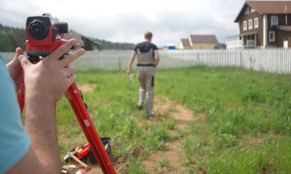
If you are planning a backyard remodel, the first thing you should do is learn how to avoid future problems. Many homeowners rush into upgrades without knowing how the land is shaped, where limits exist, or how those upgrades might affect a sale later on. And this is why a construction survey often becomes necessary much earlier than people expect. A smart remodel starts with knowing your land, not with picking materials.
Over the past week, Las Vegas news reports highlighted how rooftop solar projects are slowing down home sales in Nevada. Some deals even collapsed because the homes had additions that were not planned correctly. Buyers worried about hidden risks. Lenders asked for more documents. Sellers did not see the problems until late in the process. This story shows something many homeowners forget: even small upgrades can create big trouble later, especially when the work affects the land or structures connected to it.
So, before you break ground, it helps to take one simple step—look at Clark County’s GIS maps. This free online tool helps you understand how your property sits on the land. It shows boundaries, flood zones, easements, and zoning. With this information, you can make smarter decisions about where to add shade structures, concrete pads, swimming pools, and outdoor kitchens. And when GIS raises concerns, that is the moment you call a surveyor and ask for a construction survey. This strategy protects your project from expensive mistakes and protects you during a future home sale.
Why backyard upgrades are risky if you skip the research
Your backyard remodel may look straightforward, but the land underneath could complicate your plans.
Property lines are not always obvious. Fence lines are not always accurate. Easements can cut across a yard in strange ways. On top of that, Henderson has specific rules on how far you must place additions from boundaries, drains, and utilities.
When homeowners ignore these details, they face problems later such as:
- failed loan approvals
- delayed closings
- unhappy buyers
- expensive tear-outs
- neighbor disputes
Many homeowners only discover these problems when they list the home. By then, repairs are stressful, embarrassing, and costly. That is why starting right matters.
What GIS can tell you before you build
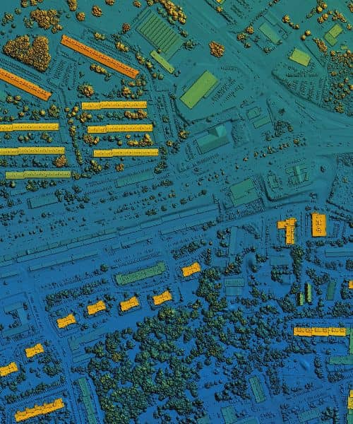
Clark County GIS is a powerful online map tool. It provides information about your parcel long before construction begins. It shows details that affect design choices and land use, such as:
- your exact parcel footprint
- zoning category
- nearby drainage features
- flood zones
- easement areas
This data helps you understand the limits of your lot, even if everything looks fine on the surface. Plus, you do not need special training to use it. With a few searches and map layers, you get a clearer picture of how your land works.
Most importantly, GIS gives you the chance to catch problems early. You learn where you can build safely and where you should not. You learn what to watch for and what questions to ask the professionals.
However, while GIS opens the door, it does not replace a survey.
That is where the construction survey enters the picture.
When GIS alone is not enough
GIS shows the big picture. A construction survey shows the exact picture.
You should consider a construction survey when:
- you plan to build close to your property line
- you want to expand concrete pads or patios
- you plan to add a pergola, shade structure, or casita
- you want to add pool equipment or utility structures
- your property falls near a drainage or flood area
- you want to avoid issues when selling later
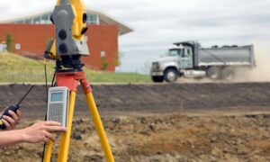
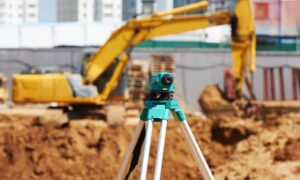
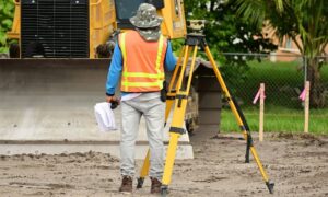
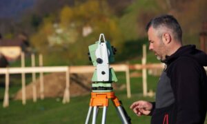
A construction survey marks locations on the ground. It confirms the correct distances. It ensures your builder knows exactly where to place improvements. Because of this, it prevents errors that are invisible until the worst time—during escrow.
In other words, GIS helps you spot questions, while a construction survey answers them for good.
How to use GIS before calling a surveyor
Start simple.
Visit the Clark County GIS website. Search your property by address. Explore the boundary lines. Then turn on additional map layers. Switch on zoning. Add flood overlays. Check for easements.
Take a few screenshots. Keep them in a folder on your computer. As you look through this information, write down anything unclear.
Soon, you will notice how your yard space works with these layers. Areas that feel open may sit close to limits. Areas that look fine may fall on top of easements. Understanding this upfront lets you make smarter choices with your contractor.
Once you see the risks, call a surveyor. Show them your screenshots and your plan ideas. They will tell you when a construction survey is needed and how they will mark the ground before building starts.
Why this protects you later
Homeowners focus on upgrades. Buyers focus on problems. That is the painful truth.
When you remodel without checking boundaries first, you create doubt for the next owner. And if doubt enters the picture, lenders step in and start demanding answers. You want to be ahead of that.
A construction survey reassures lenders, appraisers, inspectors, buyers, and realtors. It shows them your upgrade sits where it should and follows the right limits. It gives everyone confidence in how the yard was planned, especially when accuracy affects resale value and peace of mind. In short, it helps everyone understand why precise staking matters without needing extra explanations or documents.
In today’s market, that is essential.
Smart remodels start with smart planning
Think about your remodel like an investment.
You are improving your living space today, but you are also shaping your resale future. That is why planning is important—not only for the structure, but for the land underneath it.
When you explore Clark County GIS and then rely on a construction survey where needed, you make sure your project stays legal, safe, and ready for resale.
When your work aligns with boundaries and land data, it helps you avoid:
- delays
- corrections
- disputes
- deal failures
This is preparation, not paranoia.
Final thoughts
A backyard remodel should be exciting, not stressful. The key is to plan with knowledge. Clark County GIS gives you the first layer of clarity. A construction survey gives you certainty. And both help protect your home’s value, your remodel budget, and your peace of mind.
If you want guidance before you build, reach out to a licensed surveyor. They can walk your property, answer your questions, and help you move forward with confidence.
Good planning saves time. Smart research saves money. And the right survey protects everything you build.
