When big land deals happen, they often create a chain reaction for many industries. One of the most important players is the construction survey. In Henderson, a recent 118-acre land swap has caught the attention of developers, city planners, and surveyors alike. This land swap will bring new homes, businesses, and public spaces. However, before any construction starts, a construction survey will be essential to make sure everything is planned and built correctly.
What Exactly Is a Construction Survey?
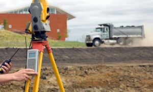
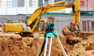
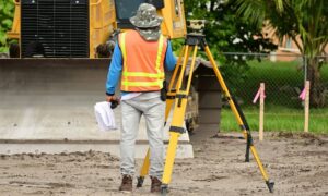
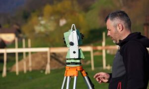
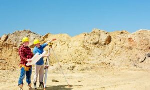
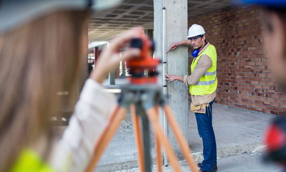
Before diving into the land swap, it helps to understand what a construction survey is. Simply put, a construction survey is the process of marking the exact locations for buildings, roads, utilities, and other infrastructure on a construction site. Surveyors use precise measurements to guide construction crews so they know where to build.
Without a construction survey, construction teams could make costly mistakes, like building in the wrong place or crossing property lines. This type of survey acts like a map for the land, ensuring everything goes according to plan.
The Land Swap: A Big Deal for Henderson
The 118-acre land swap involves Henderson city officials trading land with a private developer. The goal is to create a mixed-use area that includes residential neighborhoods, commercial buildings, and public parks. This development will change the face of Henderson and bring many new opportunities.
However, such a large project requires careful planning, and that’s where construction surveyors step in. They will work to define boundaries, map the terrain, and mark the precise spots where construction will take place.
Why Construction Surveys Matter for This Project
This land swap isn’t just about trading land; it’s about preparing that land for future use. Construction surveys will be needed to:
- Confirm property boundaries. Old boundaries might be unclear or inaccurate. Surveyors will locate or reestablish boundary lines.
- Map the topography. Henderson’s desert landscape isn’t flat. Surveyors will map hills, valleys, and slopes to help builders design roads and drainage.
- Set construction stakes. These stakes mark the exact places where foundations, roads, and utilities should go. Builders rely on these markers to work accurately.
- Ensure legal compliance. Surveys help developers follow zoning laws and building codes. This prevents costly delays and legal problems.
Without these surveys, developers risk building on the wrong spots, causing costly rework or disputes with neighbors and city officials.
Challenges Surveyors Might Face
Surveying a large land swap isn’t always simple. Here are a few challenges surveyors might face:
Coordinating with multiple agencies. Since this land swap involves both public and private land, surveyors must work closely with city officials, developers, and utility companies.
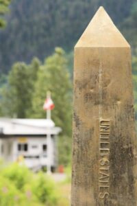
Finding old monuments or markers. These are physical markers that show property corners. Over time, some may be missing or moved. Surveyors must research historical records and sometimes search the land carefully.
Rough terrain and weather. The desert terrain includes rocky areas and uneven ground. Heat and wind can also make surveying difficult.
Flood risk. Even in a desert, heavy rains can cause flooding. Surveyors may need to provide flood elevation certificates, which show how high the land sits compared to flood zones. This helps protect the new development from water damage.
What This Means for Builders and Developers
If you are a developer or builder, the land swap means construction survey work will be in high demand. Getting a survey done early can save you time and money. When surveyors mark the site accurately, construction crews can build without hesitation or confusion.
Hiring a local construction surveyor familiar with rules is especially important. They understand the regulations and have experience with the area’s unique challenges.
Construction Surveys Protect Your Investment
Construction surveys do more than mark spots on the ground. They protect your investment. Imagine starting to build a road, only to find out later that the plans were off, and part of the road sits on protected land or private property. This mistake can cause expensive delays or even legal battles.
By completing a thorough construction survey, you avoid these problems. Surveyors act like an early warning system, catching potential issues before construction begins. This helps projects finish on time and within budget.
What to Expect in 2025
As the land swap project moves forward, you can expect a rise in construction survey activity. Surveyors will begin with boundary and topographic surveys. Next, they’ll provide construction staking surveys to guide builders during the actual work.
This survey work sets the stage for a successful build. Whether you’re a developer, city planner, or homeowner watching the project, understanding construction surveys helps you see how careful planning leads to safe, efficient construction.
Final Thoughts
The 118-acre land swap is more than just a property trade. It marks a new chapter for the city and its residents. Construction surveys will be a key part of this story. They ensure that the new homes, businesses, and parks are built on solid ground—literally and figuratively.
If you’re involved in this project or plan to build, don’t wait to bring in a licensed construction surveyor. Early surveys prevent costly mistakes and keep projects on track. In 2025, expect construction surveys to be more important than ever as it grows and evolves.
