Elevation Surveys in Watershed Management Projects
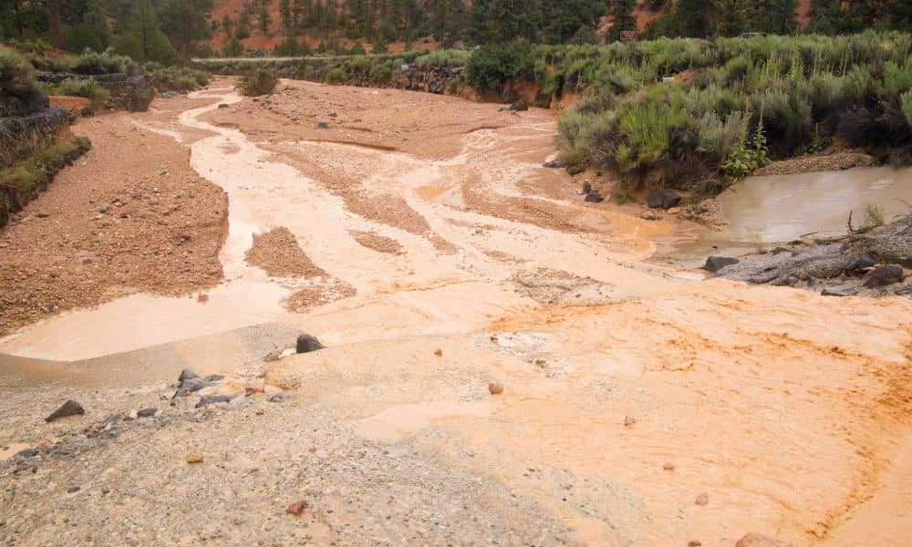
Managing water in a desert city like North Las Vegas is no small task. It doesn’t rain much here, but when it does, it can cause big problems. That’s why engineers, city planners, and environmental experts rely on tools like elevation surveys to help manage watersheds and protect the land. You might be wondering, “What […]