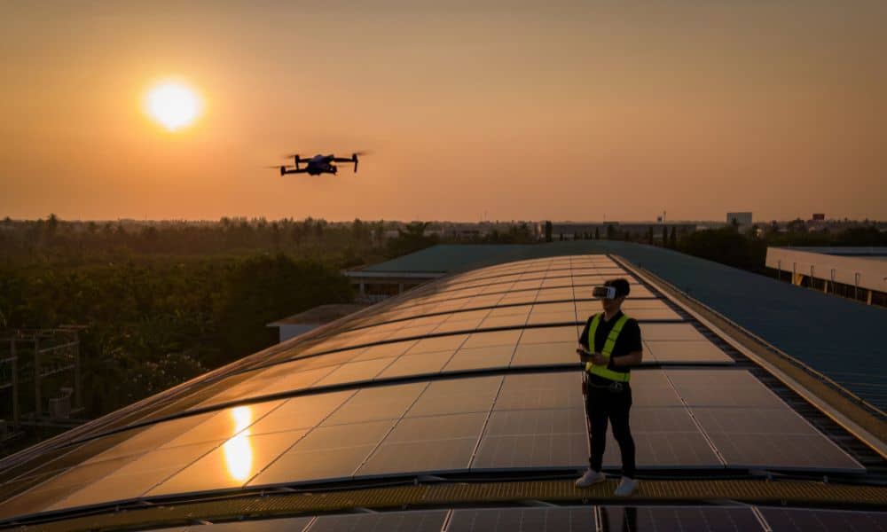
If you use drone surveying to map land or collect site data, this week’s forecast comes with an unusual warning — a geomagnetic storm is coming. The NOAA Space Weather Prediction Center has issued an alert for November 10–13, warning that magnetic activity could mess with GPS signals around the world. That might sound like something that only affects satellites or pilots, but for surveyors and builders using drones, it’s a big deal.
What’s Happening Above Us
A geomagnetic storm starts when the Sun releases a burst of energy, called a solar flare or coronal mass ejection. When those charged particles reach Earth, they shake up the planet’s magnetic field and disturb signals that travel through the air. The result? GPS accuracy can suddenly shift by a few feet.
You might not notice it when driving with your phone’s GPS, but drone surveying relies on super-precise positioning—down to an inch or less. A small shift in signal can throw off maps, boundary data, or staking points. While tourists might enjoy seeing bright auroras, surveyors could end up fighting GPS drift.
Why It Matters for Drone Surveying
Laughlin’s open desert makes it a great place for drone work. Drones can cover miles of ground quickly, creating detailed maps for subdivisions, grading, and flood studies. But when the sky is active with magnetic energy, those same open areas can become tricky.
During a geomagnetic storm, the correction signals that keep drones accurate can weaken or cut out. If your drone uses RTK or PPK to keep tight accuracy, even short signal drops can ruin results. Maps might not line up, or elevation data could be off by just enough to cause problems.
This isn’t just a small chance—it’s real and happening now. NOAA expects moderate to strong magnetic storms (G1–G3) this week, which often cause noticeable issues for GPS, radio, and power systems.
A Local Reality Check
Imagine you’re flying over a new site near Casino Drive to create a grading map. Everything looks fine, but when you check your control points later, they’re a few inches off. That means extra hours fixing data or maybe even a second flight.
Or picture a construction project near the Colorado River. You’re checking foundation lines before concrete day. If your GPS readings drift, your points might not match up in real life—and the mistake won’t show until it’s too late.
These small errors can lead to big delays or rework. But surveyors who plan ahead can avoid the worst of it.
Timing Is Everything
Just like checking the weather before heading out, survey crews also check space weather. When magnetic activity is high, errors usually get worse in the afternoon. Flying early in the morning or waiting a day can help avoid the rough spots.
In Laughlin, where heat and wind already limit flight windows, timing is critical. Watching the NOAA K-index—a score that measures magnetic activity—helps crews plan. A K-index below 4 means things are normal. When it jumps above 6, accuracy can drop fast.
How Professionals Adapt
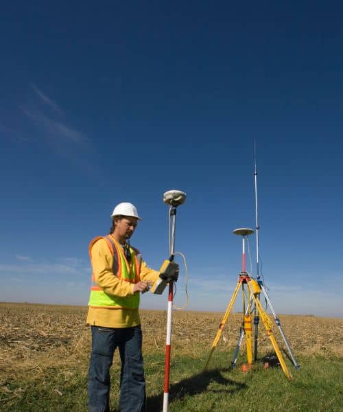
Experienced surveyors treat magnetic storms like quick desert rainstorms. They don’t panic—they adjust.
- Shorter flights: Smaller missions lower the risk of spreading bad data.
- More verification: Crews check flight points against past results to catch errors early.
- Flexible schedules: Flights get moved to calm weather windows while other project work continues.
- Clear communication: Clients get updates early, so no one is caught off guard.
These steps protect not just the data but also trust. No one wants to hear, “We have to redo the survey because the satellites went crazy.”
What Clients Should Know
If your surveyor calls to reschedule this week, that’s a sign of skill, not delay. Magnetic storms are short-lived, but survey mistakes can cost thousands later. By waiting a day or two, your surveyor is keeping your project accurate and safe.
Think of it like checking the forecast before pouring concrete. You wouldn’t rush the job in a downpour. Drone surveying follows the same logic — wait for the right conditions to get results you can depend on.
For homeowners, builders, and lenders, patience pays off. A short delay now avoids costly fixes later, especially for jobs like subdivision layouts, flood studies, or mortgage surveys that need certified accuracy.
The Bigger Picture
Drone surveying is transforming how Laughlin grows. Developers can plan faster, engineers can design smarter, and homeowners can see their land in stunning detail. But no matter how advanced drones become, they still depend on the same thing we all do — nature.
Geomagnetic storms remind us that even the best technology has limits. Surveyors who watch the sky (and beyond it) protect their clients from surprises. Preparation and awareness keep projects steady, even when space weather isn’t.
Practical Tips for This Week
- Check NOAA alerts daily until November 13.
- Talk to your surveyor if your project is scheduled soon.
- Compare data from this week to older maps before using it.
- Note the storm timing in reports for record-keeping.
Simple habits like these build strong workflows and peace of mind.
Final Thoughts
The next few days remind us that accuracy starts with awareness. A geomagnetic storm may be invisible, but it can shake every satellite connection above us.
If you’re managing a project, double-check your flight times and GPS health before sending drones into the air. Wait for clear signals, verify your results, and keep your clients in the loop.
Precision comes from preparation—and this week, even the Sun gets a say.
