How to Verify a Property Line Survey Before Building

If you plan to build a fence, add a room, or install a block wall, one step matters more than most homeowners realize: checking your property line survey. In North Las Vegas, where homes often sit close together and lots are tight, even a small mistake can cause big problems. Many property disputes start with […]
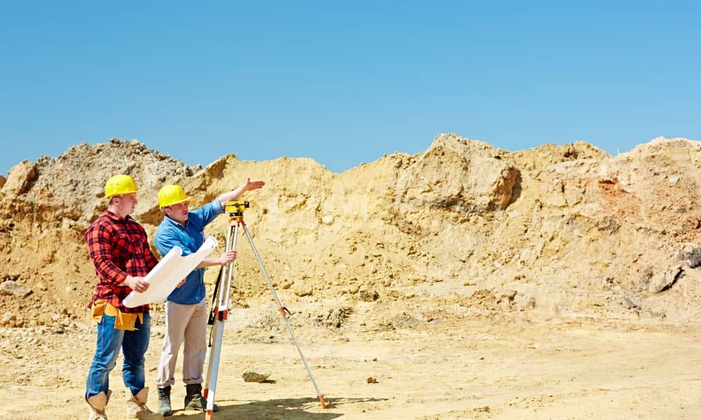
Why New Development Is Driving ALTA Land Title Survey Demand
Property activity near Laughlin has been changing quietly. While there are no cranes on every corner, landowners, buyers, and investors are running into one surprise again and again. An ALTA land title survey is being requested earlier than expected. In many cases, it comes up before plans are final and before financing is locked in. […]
Perc Test Planning Starts With the Right Survey

When people talk about a perc test, the conversation almost always starts with soil. Will it drain? Will it pass? Will the land qualify for a septic system? That focus makes sense. However, many projects stall even after the soil performs well. The delay does not come from the ground. Instead, it comes from missing […]