Managing water in a desert city like North Las Vegas is no small task. It doesn’t rain much here, but when it does, it can cause big problems. That’s why engineers, city planners, and environmental experts rely on tools like elevation surveys to help manage watersheds and protect the land.
You might be wondering, “What does an elevation survey have to do with water?” The answer: everything.
What Is an Elevation Survey, and Why Does It Matter?
An elevation survey is a type of land survey that shows the height and shape of the ground. It maps out slopes , dips, and high points across the landscape. That’s especially important in a place like North Las Vegas, where the ground is mostly dry, flat, and often tricky to manage during sudden rainstorms.
When experts understand how the land is shaped, they can figure out how water will move through it. Will it soak into the ground? Or will it rush through neighborhoods, causing flooding? Elevation surveys help answer those questions — and help stop water from going where it shouldn’t.
Why North Las Vegas Needs Elevation Surveys
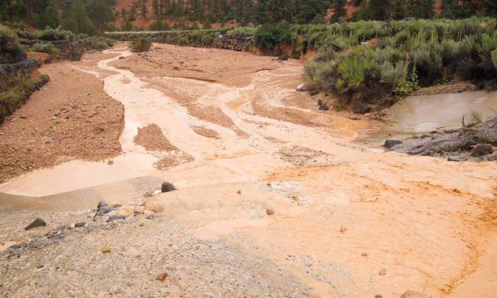
You might think only coastal cities deal with flooding. But in North Las Vegas, flash floods are a real concern, especially during monsoon season. Even a short, heavy rainstorm can flood roads, damage homes, and wash out trails.
Because the desert soil doesn’t absorb water quickly, runoff builds up fast. With the help of an elevation survey, the city can plan where to direct that water. Instead of flooding streets or backyards, it can be guided into safe areas like channels, culverts, or retention basins.
How Elevation Surveys Help Watershed Projects
Watershed management is about guiding water in a smart, safe, and sustainable way. Here’s how elevation surveys make that possible:
1. Planning Drainage Systems
Knowing how the land slopes helps engineers build effective drainage systems. An elevation survey shows exactly where water will flow. With that information, the city can place drains, pipes, and channels in the right spots to move water safely away from homes and streets.
2. Preventing Flood Damage
Elevation data helps spot low areas that are likely to flood. Planners can then design structures like levees, detention basins, or raised roadways to control and redirect water during storms.
3. Protecting Natural Areas
Watersheds include more than just concrete drains. They also involve parks, rivers, and dry desert washes that come to life during rain. Using elevation surveys, environmental planners can design solutions that reduce erosion and protect plants and wildlife habitats.
4. Supporting Smart Growth
New homes, shopping centers, and schools are being built every year. Elevation surveys help developers decide where it’s safe to build — and where it’s not. That keeps new structures out of potential flood zones and ensures they won’t interfere with natural water flow.
Real-Life Example: How It Works on the Ground
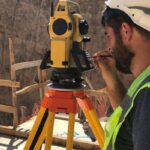
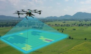
Let’s say the city wants to improve a park that often floods during storms. Before doing anything, they’ll order an elevation survey. Surveyors will visit the site with GPS tools and drones to measure how the land slopes and where the water goes.
Then, city planners use that data to redesign the park. Maybe they’ll reshape a walking trail or create a basin to collect excess water. Because of the elevation survey, every decision is based on real, accurate data — not guesses.
The Technology Behind Elevation Surveys
Gone are the days of measuring land with sticks and tape. Today’s elevation surveys use cutting-edge tools like:
- LiDAR – A laser scanning system that creates a detailed 3D map of the ground from a drone or airplane.
- GPS Equipment – Highly accurate tools that record elevation points down to inches.
- Drones – Perfect for covering wide areas quickly and capturing detailed aerial views.
Thanks to these tools, elevation surveys are now faster, more accurate, and more affordable than ever.
Long-Term Planning: Elevation Surveys for the Future
North Las Vegas doesn’t just need elevation surveys for today — we need them for the future. As the climate shifts and weather becomes more unpredictable, the risk of flooding may grow. More extreme rainstorms could happen with little warning.
That’s why it’s important to update elevation data regularly. When we understand how land changes over time, we can make smarter choices about where to build, where to protect, and how to manage water more effectively.
Watershed projects aren’t quick fixes. They’re long-term plans to keep the city safe, dry, and livable.
Who Uses Elevation Surveys?
It’s not just the city government using this data. Plenty of others rely on elevation surveys, too:
- Civil engineers use them to design streets, bridges, and flood control systems.
- Environmental planners use them to protect natural ecosystems.
- Developers need them to plan buildings that meet safety codes.
- Homeowners sometimes need elevation data for insurance or remodeling permits.
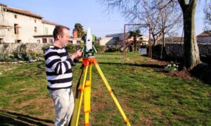
If you’ve ever seen people with tripods in an empty lot or drones flying overhead, they were likely doing an elevation survey.
Final Thoughts
In a place like North Las Vegas, water doesn’t come often — but when it does, it makes an impact. That’s why elevation surveys are such a valuable part of watershed management. They show us how the land really works, helping everyone from city planners to homeowners make smart, safe decisions.
Whether it’s a public park, a new housing project, or flood control upgrades, elevation data is behind it all. The better we understand our land, the better we can manage the water that flows through it.

