Why a Topographic Survey PDF Isn’t Enough for Builders
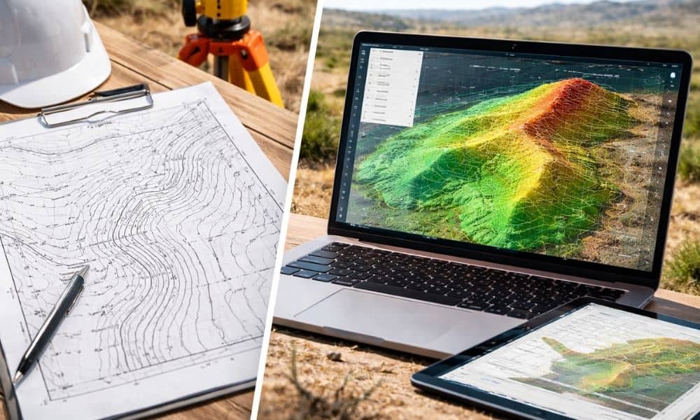
Buying land can feel simple at first. You find a lot, the price looks right, and the space seems open and flat. Then you get a topographic survey, usually as a PDF, and it seems like everything is ready to go. The problem is, that PDF doesn’t always give the full picture. Many buyers don’t […]
How to Read a Topo Survey for Drainage and Layout
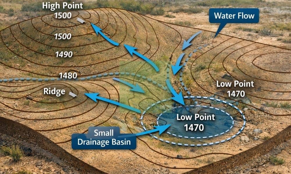
If you own land, your lot may look flat at first. However, once it rains, you may notice water moving in ways you did not expect. In some cases, it collects near where you plan to build. In others, it cuts across the land and creates small channels. Because of this, many property owners realize […]
The Importance of Getting a Topographic Survey Before Buying Land in Henderson, NV
Buying land is exciting especially in a fast-growing city like Henderson, Nevada. Whether you’re planning to build your dream home, invest in property, or start a new project, it’s easy to focus on the big picture. But before you sign any papers, there’s one important step that many buyers overlook: getting a topographic survey. If […]