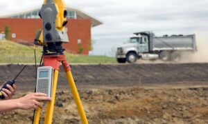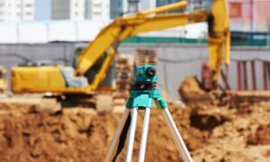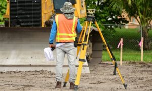
Las Vegas is growing fast, with new homes, commercial buildings, and investments popping up all over the city. Whether you’re buying a house, building on vacant land, or working in real estate, understanding the property survey requirements in Las Vegas, NV is critical.
A property survey gives you more than just a map—it protects your investment, ensures compliance with local rules, and helps avoid costly mistakes. In this guide, we’ll explain when a survey is required, who needs one, and what to expect when getting it done.
The Importance of Property Surveys in Las Vegas Real Estate
Why Las Vegas Real Estate Is Unique
Las Vegas has a mix of planned communities, older subdivisions, and desert land developments. This diversity means property lines and access rights aren’t always clear. That’s where surveys come in.
Why You Need a Survey for Local Transactions
A survey helps you:
- Confirm property boundaries
- Check for easements or encroachments
- Get accurate data for construction or renovations
- Avoid legal disputes and permitting issues
What Is a Property Survey and What Does It Cover?
A property survey is a detailed report created by a licensed surveyor. It maps the land, buildings, and legal boundaries, providing critical details about the property’s size, location, and any restrictions.
A Survey Includes:
- Property lines and lot dimensions
- Easements for utilities or shared access
- Building locations and improvements
- Elevation or slope (in some surveys)
When a Property Survey Is Required in Las Vegas
1. During a Property Purchase
While not always legally required, most lenders or title companies will request a survey before approving a loan or issuing insurance.
2. Before Construction or Remodeling
If you’re building a fence, pool, garage, or home addition, a survey shows if your plans follow city zoning and setback rules.
3. For Subdividing Land or Filing Permits
Planning to divide a large lot or start a commercial build? The city will ask for a professional survey to ensure the land meets all requirements.
Survey Requirements by Stakeholder
Homebuyers
Buyers need a survey to avoid surprises like:
- Shared driveways
- Building over property lines
- Unrecorded easements
It’s also smart for peace of mind—especially in older neighborhoods.
Real Estate Agents
Agents use surveys to:
- Confirm property details before listing
- Help buyers understand lot features
- Resolve disputes between sellers and neighbors
Builders and Contractors
Builders rely on surveys to:
- Plan site layouts
- Submit permit applications
- Avoid delays caused by boundary or code violations
Local Regulations and Survey Standards in Nevada
Clark County Guidelines
Clark County, which includes Las Vegas, has strict rules for setbacks, easements, and land use. Surveys must meet county standards for permit approval.
Licensed Surveyor Requirements
Only licensed Nevada professionals can conduct official surveys. They must follow state codes and keep up with continuing education.
Zoning Compliance
Zoning rules control what you can build and where. A survey helps prove your project follows local zoning laws.
Survey Costs and Timelines in Las Vegas
What Affects the Cost?
- Size and shape of the lot
- Type of survey requested
- Terrain or access difficulties
- Timeline or rush requests
Estimated Cost Ranges
| Survey Type | Cost Range |
| Boundary Survey | $400 – $900 |
| ALTA/NSPS Survey | $1,200 – $3,000+ |
| Topographic Survey | $800 – $1,800 |
| Construction Survey | $700 – $2,000 |
Typical Turnaround Times
Most surveys take between 3–10 business days, depending on complexity and weather conditions.
How to Choose a Qualified Surveyor in Las Vegas
What to Look For
- Nevada state license
- Experience with local property types
- Clear communication and references
- Digital and physical deliverables
Red Flags to Avoid
- No proof of licensing
- Vague pricing or timeline
- Lack of local experience
- Outdated tools or paper-only reports
What You Should Receive
- A detailed map or plat
- Legal description of the land
- Notes on easements or encroachments
FAQ’s
- Is a Property Survey Legally Required in All Sales?
No, but most lenders, title companies, or cities will request one for safety and legal reasons.
- Can I Use an Old Survey?
Possibly, but only if the land hasn’t changed. Most professionals recommend a new or updated survey.
- What If the Survey Shows a Dispute or Error?
You may need to renegotiate your deal or fix boundary issues before closing or building.
- Who Pays for the Survey?
In Nevada, it’s negotiable. Buyers usually pay, but sometimes sellers cover it in a competitive market.
