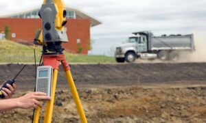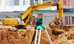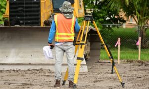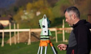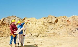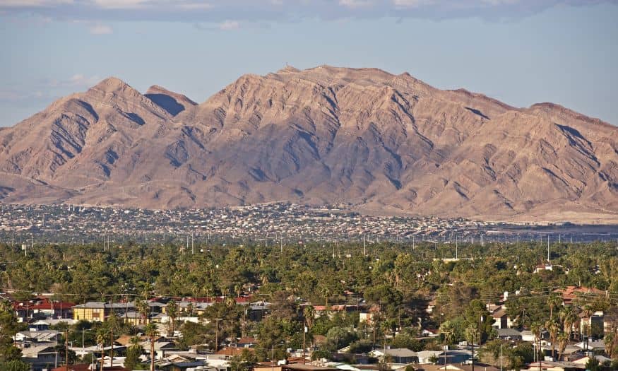
Construction projects in North Las Vegas often face unexpected delays. These delays typically cost money and waste valuable time. One effective way to avoid them is by getting a thorough topographic survey done in North Las Vegas before breaking ground.
In this article, you’ll learn common mistakes that lead to delays, how they impact your project, and practical ways a quality topographic survey can help you avoid them.
Common Mistakes That Cause Construction Delays
Not Understanding the Terrain
One major mistake is not fully understanding the landscape. North Las Vegas has unique features such as uneven terrain, rocky soil, and drainage issues. Ignoring these features can lead to:
- Costly redesigns
- Unplanned excavation work
- Flooding or drainage issues after construction
Failing to Identify Property Boundaries
Unclear property lines often cause disputes and halt construction. Without accurate boundary information, your project might:
- Face legal issues
- Require expensive corrections
- Cause disputes with neighbors or local authorities
Skipping Environmental Considerations
Overlooking environmental factors like protected plants or sensitive habitats can pause or even stop construction. Mistakes include:
- Violating local environmental regulations
- Causing ecological harm
- Facing fines or penalties from the city
How a Topographic Survey Prevents These Mistakes
Provides Accurate Terrain Data
A professional topographic survey clearly shows land elevations, slopes, and existing landscape features. With accurate information, your team can:
- Plan better foundations and drainage systems
- Avoid costly adjustments mid-project
- Anticipate and manage terrain challenges beforehand
Clarifies Property Boundaries
Topographic surveys also identify exact property lines. This helps you:
- Avoid boundary disputes
- Stay compliant with local zoning laws
- Maximize the usage of your property within legal limits
Highlights Environmental Issues
Experienced surveyors know what environmental issues to look for. They’ll highlight:
- Protected wildlife habitats or plants
- Areas prone to flooding or erosion
- Specific zoning restrictions or limitations
This helps you plan accordingly, keeping your project compliant and on track.
Practical Tips for a Successful Topographic Survey
To get the best results, keep these tips in mind:
- Choose a Licensed Surveyor: Always work with qualified professionals familiar with North Las Vegas regulations.
- Communicate Clearly: Explain your project’s goals clearly to your surveyor to ensure the survey covers all your needs.
- Review Your Survey Thoroughly: Check the survey results carefully to address potential issues early.
FAQs
1. What is a topographic survey?
A topographic survey maps the natural and man-made features of land, showing elevations, slopes, boundaries, and landscape details.
2. Why do I need a topographic survey in North Las Vegas?
A topographic survey helps prevent costly delays by accurately identifying terrain issues, property boundaries, and environmental concerns before construction begins.
3. How long does a topographic survey take?
Typically, it takes 1–2 weeks, depending on your property’s size and complexity.
4. Is a topographic survey required for building permits in North Las Vegas?
Yes, many building permits require a detailed topographic survey to ensure compliance with local regulations and zoning requirements.
5. How much does a topographic survey cost in North Las Vegas NV?
Costs vary based on property size and features but usually range from $500 to $2,500. Always request a quote from a licensed surveyor.
