How Recent Rainfall Patterns Are Changing the Way Sites Are Graded
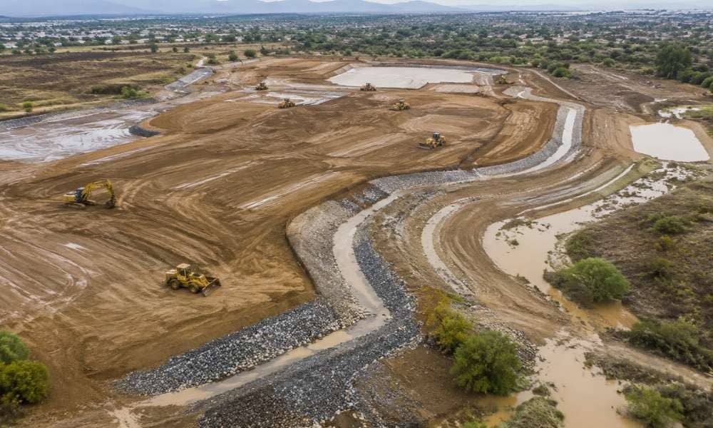
Nevada is getting wetter storms. They hit hard and fast. Developers who ignore this are setting up their sites for drainage problems. A topographic survey shows what the ground actually looks like today. That is where smart grading starts. Why Historical Drainage Assumptions No Longer Tell the Full Story Old rainfall data guided grading for […]
Why Boundary Confusion Keeps Showing Up in Newer Subdivisions
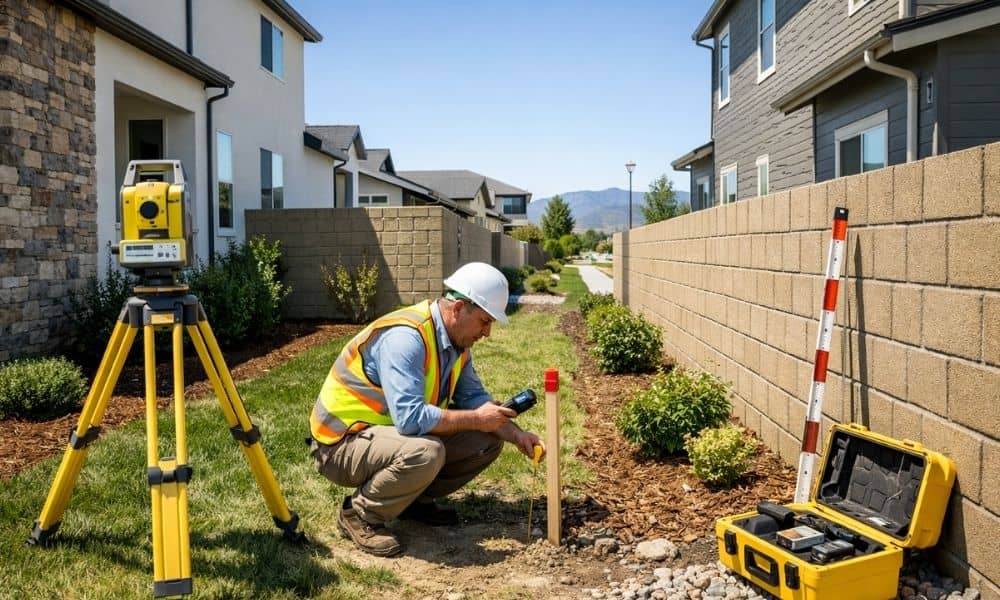
A brand-new fence. A fresh survey stake. A neighbor who swears the block wall sits on their land. In Henderson’s newest subdivisions, this scene plays out more than you’d expect. A boundary survey is often the only thing that settles it. Even in master-planned communities with perfect curb appeal, property lines can get murky fast. […]
How Developers Prepare Las Vegas Mega Projects Before Construction Begins
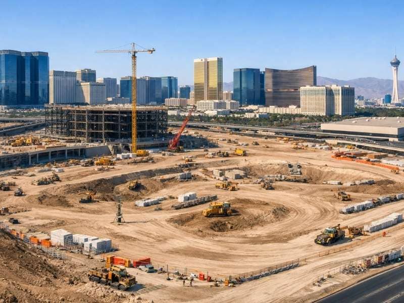
Las Vegas mega projects do not start with cranes. They start with surveys. Before a single foundation is poured for projects like the A’s stadium or Strip redevelopments, surveyors are on site. They collect the data that makes everything else possible. For developers, knowing this process matters. It protects your schedule, your budget, and your […]