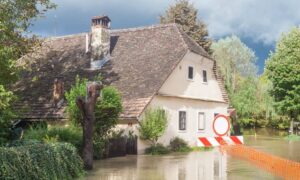
Just a week ago, heavy rain turned parts of North Las Vegas into fast-moving rivers. Streets overflowed, yards filled with muddy water, and residents shared videos online showing how quickly things got out of control. As crews continue cleanup and homeowners assess the damage, one question remains: why did some homes flood while others stayed dry? The answer often lies in a small but powerful document called a flood elevation certificate.
This certificate might not sound exciting, but it’s one of the most important tools for understanding how vulnerable your home really is. It shows the exact height of your house in relation to FEMA’s base flood level—something that can make all the difference when the next storm hits.
A Wake-Up Call for North Las Vegas Homeowners
The early October floods didn’t just wash over streets; they revealed hidden problems that have been building up across neighborhoods like Aliante, Tule Springs, and Deer Springs.
In many areas, the land isn’t graded quite right. Water flowed toward homes instead of away from them. Some yards acted like basins because the ground was too flat or blocked by boundary walls. Others had fences that unknowingly trapped runoff that used to flow freely.
These are not random mishaps—they’re drainage and elevation issues. And the easiest way to uncover them before the next downpour is by reviewing your flood elevation certificate or getting a new one.
What Is a Flood Elevation Certificate?
A flood elevation certificate (often shortened to FEC) is a form prepared by a licensed land surveyor. It records your property’s height in relation to FEMA’s base flood elevation (BFE)—essentially, how high flood waters could rise in your area.
It includes measurements like:
- The elevation of your lowest floor and garage slab
- The slope and ground levels around your home
- Your official FEMA flood zone designation
Insurance companies use this information to determine your flood insurance rate. Homeowners use it to decide whether grading or drainage improvements are needed. And mortgage lenders often require it before approving loans in flood-prone areas.
Put simply: if you live in North Las Vegas and want to know how safe your home is from flooding, this document tells you.
What the October Floods Revealed About Local Drainage
When stormwater rushed through the city last week, it exposed three major problems that proper surveys could have identified early:
- Negative slope toward the home. Water that flows downhill toward your foundation can seep into basements or slab edges.
- Flat or low side yards. Without a low break or defined drainage path, water lingers instead of escaping to the street.
- Walls blocking natural runoff. Retaining walls or fences sometimes redirect water unintentionally, trapping it where it doesn’t belong.
Each of these issues is avoidable. A flood elevation survey reveals where your property sits too low and guides you or your contractor on how to regrade it properly.
How a Certificate Protects You—Financially and Physically
Getting a current flood elevation certificate isn’t just a formality—it’s a smart way to save money and prevent future headaches. Here’s how:
- Lower insurance costs: FEMA and insurance companies adjust your rates based on verified elevation data. If your house is higher than the flood line, you could qualify for a discount.
- Better drainage planning: Contractors use your elevation data to redesign swales, driveways, and yard slopes that actually work.
- Faster real estate transactions: Buyers and lenders want updated flood info before closing. Having your certificate ready avoids delays.
Without it, you’re often left guessing—and in North Las Vegas, guessing wrong can mean major repair bills after a storm.
Do You Need a New Flood Elevation Certificate?
Many homeowners assume their old certificate still applies, but conditions can change fast. Ask yourself:
- Was your home built before 2015?
- Have you added fill, landscaping, or retaining walls since the last survey?
- Has FEMA or the city updated local flood maps?
If you answered yes to any of these, it’s time for a new one. You can check your parcel’s elevation and flood zone through Clark County OpenWeb or request updated FEMA data before booking a new survey.
How the Survey Works
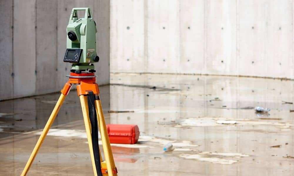
When you order a flood elevation certificate, a licensed land surveyor visits your property to measure key elevation points. They use professional GPS or total station equipment tied to official county benchmarks.
Some surveyors even use drone technology to capture accurate aerial data, especially for larger lots. Once the measurements are processed, you’ll receive a certified FEMA-compliant report that you can share with your insurance company, lender, or contractor.
The whole process usually takes one to two days—and gives you years of peace of mind.
What You Can Do Before the Next Storm

Here’s how homeowners can stay one step ahead:
Talk to a professional. A local surveyor understands the unique drainage challenges of our desert climate and can guide you on next steps.
Walk your yard after a light rain. Notice where puddles form or where water flows.
Check your existing elevation data. If it’s missing or outdated, schedule a new certificate.
Fix grading early. Even small slope adjustments can stop water from reaching your home’s foundation.
Know Your Elevation Before It Costs You
The October 7 flood was a reminder that North Las Vegas can go from dry to drenched in minutes. As cleanup winds down, it’s the perfect time to protect your home before the next rain hits.
A flood elevation certificate is more than a technical report—it’s your roadmap to a safer, smarter property. It tells you whether your home’s elevation is strong enough to handle heavy rain or if it’s time to make changes.
Don’t wait until the next storm to find out.
By updating your flood elevation certificate, you’ll know your home’s true elevation and can take small, informed steps to improve drainage and prevent future flood damage. Knowledge now means fewer surprises later.


