Buying land is exciting especially in a fast-growing city like Henderson, Nevada. Whether you’re planning to build your dream home, invest in property, or start a new project, it’s easy to focus on the big picture. But before you sign any papers, there’s one important step that many buyers overlook: getting a topographic survey.
If you’re not sure what that is or why it matters, don’t worry—we’ll walk you through it. By the end of this post, you’ll understand how this type of survey works, what it reveals, and why skipping it can lead to expensive surprises later on.
What Is a Topographic Survey?
A topographic survey (or “topo survey”) is a detailed map that shows the shape and features of the land. It doesn’t just tell you where the property lines are it shows you things like:
- Hills and slopes
- Natural drainage paths
- Trees and rocks
- Man-made features like driveways, fences, or retaining walls
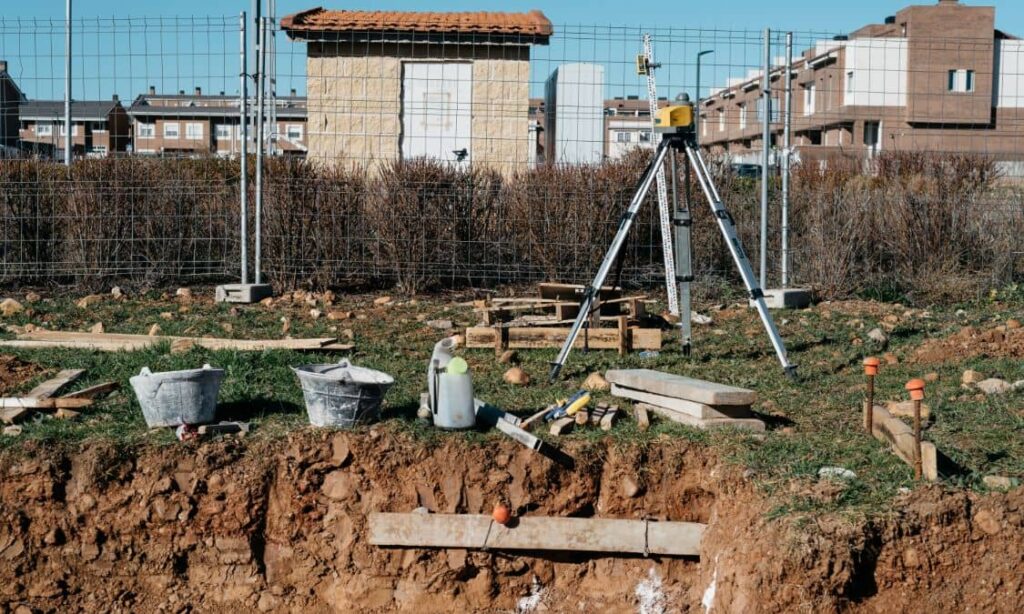
Surveyors use tools like GPS, drones, or total stations to collect this data and create a 2D or 3D map. This map is used by engineers, architects, builders, and even local agencies to plan projects safely and accurately.
Why Is This So Important in Henderson, NV?
Henderson isn’t flat. It has desert terrain, rolling hills, rocky areas, and spots that are prone to flash flooding. Areas near Black Mountain, Sloan Canyon, or even newer neighborhoods can look fine at first glance but without a topographic survey, you won’t know how the land actually behaves.
For example, a small slope could lead to drainage problems during heavy rains. That might not be obvious until it’s too late and your new building site has standing water.
What Can Go Wrong Without a Topo Survey?
Let’s say you buy a piece of land, excited to start building. But when your contractor checks the site, they realize the land isn’t level, and you’ll need extra grading before construction begins. That could cost thousands of dollars and delay your entire project.
Or maybe the natural slope sends rainwater straight toward your future garage. Now you’re paying for expensive fixes you didn’t plan for all because you didn’t get a topographic survey first.
How a Topographic Survey Saves You Money and Stress

Here’s what a topo survey can help with:
- Spotting elevation issues that could affect building design
- Planning driveways, drainage, and foundations with confidence
- Avoiding permit problems due to unknown land conditions
- Preventing costly surprises during excavation or construction
Think of it as a smart move that protects your investment from the ground up.
When Should You Get One?
The best time to order a topographic survey is before you buy the land—during the due diligence phase. That gives you time to spot red flags and negotiate with the seller if needed.
It’s especially important if you’re planning to:
- Build a custom home
- Develop the property
- Apply for building permits
- Subdivide the land
Quick Example: A Tale of Two Buyers
Let’s imagine two buyers.
Buyer A skips the survey. A few months after buying the land, their contractor finds out the site needs major grading. It’s going to cost an extra $10,000 and delay the build by two months.
Buyer B orders a topographic survey upfront. They find out early that the land needs grading, so they adjust their building plan and budget. No surprises. No drama.
Guess who ends up happier?
What to Expect From the Survey Process
Getting a topographic survey is pretty simple:
- A licensed surveyor visits the site and collects data.
- They create a detailed map showing the elevation, features, and layout.
- You receive the map and report—sometimes in digital formats like PDF or CAD files.
It usually takes a few days to a week, depending on the size of the land.
FAQs
1. Is a topographic survey the same as a boundary survey?
Nope! A boundary survey shows property lines. A topographic survey shows the natural and man-made features of the land—like elevation, slopes, and drainage paths.
2. How much does a topographic survey cost in Henderson, NV?
Costs vary depending on the size and complexity of the land. Most range from a few hundred to a few thousand dollars. For an exact quote, it’s best to contact a local surveyor.
3. Can I skip the survey if the land looks flat?
Even flat-looking land can have hidden issues. Drainage, underground features, or minor slopes can cause problems. A topo survey gives you peace of mind.
4. Who uses the topographic survey after I get it?
Your architect, builder, engineer, and even city officials may use it when designing your home or project and reviewing permit applications.
5. Do I need a topographic survey if I’m not building right away?
It’s still a good idea. Knowing the land’s layout helps with planning, budgeting, and avoiding surprises later. Plus, it might help with resale if your plans change.


